Okavango Delta Locator Map
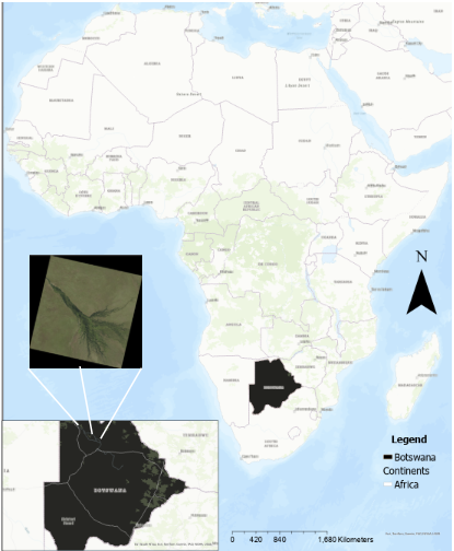
Located in the northern part of Botswana, the Okavango Delta is often described as the "Jewel of the Kalahari" because it sits at the heart of one of the world’s largest sandy basins. On a map of Africa, you’ll find it in the southern part of the continent, tucked away in a landlocked country that is mostly covered by dry savanna and desert. What makes its location so strange is that, unlike most river deltas that flow into the ocean, this one empties directly into the desert sands. It sits at the very end of a 1,500-kilometre journey for the Okavango River, which originates in the wet highlands of Angola, passes briefly through Namibia, and finally spreads out into this massive, flat wetland in northwestern Botswana. The Delta is not just a swamp; it is a giant "alluvial fan" that covers an area about the size of Massachusetts or half the size of Belgium. Geologically, it exists because the earth's crust actually dropped down between two fault lines—part of the same rift system that created the Great Rift Valley in East Africa—which trapped the water and forced it to spread out. This creates a unique landscape of permanent lagoons, narrow channels, and thousands of small islands, many of which were originally built by termites. Because the flood arrives during Botswana's bone-dry winter, it acts as a massive magnet for wildlife, attracting huge herds of elephants, buffalo, and rare animals like the African wild dog to its crystal-clear waters.
Create Your Own Website With Webador